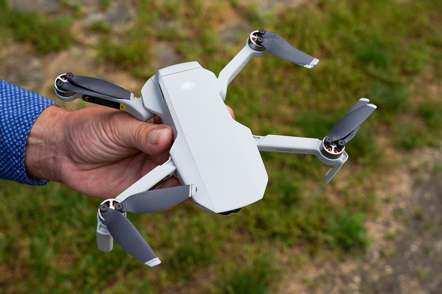
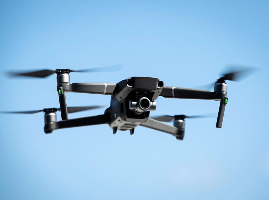
Drones are functional machines that can be used for a wide range of different purposes, but one thing that they are well known for is their ability to capture beautiful pictures from a wide range and different angles.
Commercial drones are growing in popularity each day, and they have been used for more than taking mere casual pictures. Drones have been deployed by those in the real estate market looking to sell land and property. However, sometimes it is not clear how drone real estate photography pricing works.
Here is a quick guide that explains how it calculates and also the best prices to use.
If you’re new to using drones for commercial photography, you need to know precisely how it works and how much to charge for your services reasonably. And also, regarding the suitable drones and gear to use, here is a list of the best drones under $2000 that you should look into, as they’re reliable and effective.
In case you’re wondering how much to charge for drone photography, most drone pilots charge prices based on the square footage of the land they’re capturing. There are different packages for both exterior and interior photos.
Although multiple factors affect how much you charge, here is the basic pricing structure that most drone pilots use.
| Under 2,000 sq. ft. | $150 |
| Under 3,000 sq. ft. | $200 |
| Under 4,000 sq. ft. | $250 |
| Under 5,000 sq. ft. | $300 |
Under this package, there are different types of photos the drones take. They include the following.
Drone photos
These are the pictures taken from 15-25 feet from the front of the home and cover the center, right, and left angles and at 100 feet above from the center of the house, the four corners, a single nadir, or from the top. The price ranges from $50 to $400.
Exterior photos of the land
The drones take pictures from the ground, and it covers the center-left and right angle, the close-up of the front door, and corner shots of the house or property from the backyard. It usually costs around $110 to $330.
Interior photos of the property
Under this, there are two different types of photos to be considered when taking pictures of the interior view of the house: HDR and 360 photos. For interior photos, it can cost up to $150.
HDR photos are taken of the inside of the house, starting from the front of the house and as you walk around the house until you reach the back of the house, but there is always a particular emphasis on the toilet and the kitchen. HDR photographs are more expensive and they range from $215 to $360.
This is where you take 360 pictures of each of the rooms in the house so you can make a 3D model of the house and a walkthrough. The price depends on different factors, and it can go from $50 to $500.
It’s important to know that you shouldn’t get carried away and focus on the number of pictures you take but instead look at the quality of your photos and make sure you capture the full beauty of the property or the land.
If you’re going into drone photography and you are in search of an excellent drone to use, then you should check out the PowerEgg X, as it can be used to capture beautiful images and also can be used at a vast range and distance.
The cost of real estate pictures varies when a drone is used to capture them, and these prices are affected by different things.
The location of where your property or land matters when determining the price. Transporting yourself and your equipment will add to your expenses, and there’s no how you won’t add them to your charge.
Some lands may be very far away from your base, so you will have to charge more, and at the same time, if it’s a nearby job, the charge will be reduced.
Not all drones are the same, and some are specifically made for photography purposes. For example, some drones are used to capture the interior of houses and have 360 features, there are also drones that can fly to higher altitudes to view the roof and top view of the property.
If you’re interested in that, you should check out the list of the best drones for roof inspection, as it is a compilation of the most used and effective drones for that purpose.
There are different drone machines on the market, and if you are using a high-end drone, you can charge more.
One drone in particular that you should look at is the DJI Inspire 2 Advanced Combo, an excellent drone that many drone pilots have become fond of because it has many features that will make the job more convenient.
Your experience matters, and it is one of the most important factors when considering the pricing of photoshoots.
If you have been longer in the business, you will have a better idea of the costs, what to expect from the jobs, and the cost it will take to execute and deliver top-notch work.
A person who isn’t used to this work and doesn’t have much experience in the field can’t charge the same sum of money as professionals who have been in the same position for an extended period.
It is essential to know when not to overcharge and, at the same time, undercharge, so with time, you should find your numbers and stick with them. Apart from helping you be more organized, it’ll also help you grow professionally.
Another essential factor you should consider when determining the cost of taking pictures with your drone system is the type of listing.
Different lands and properties like malls, factories, houses, and schools require unique photography needs. The listing will always be considered for how much a session will cost.
There should always be room left for miscellaneous cases, as there can be unexpected expenses for things that you didn’t plan for.
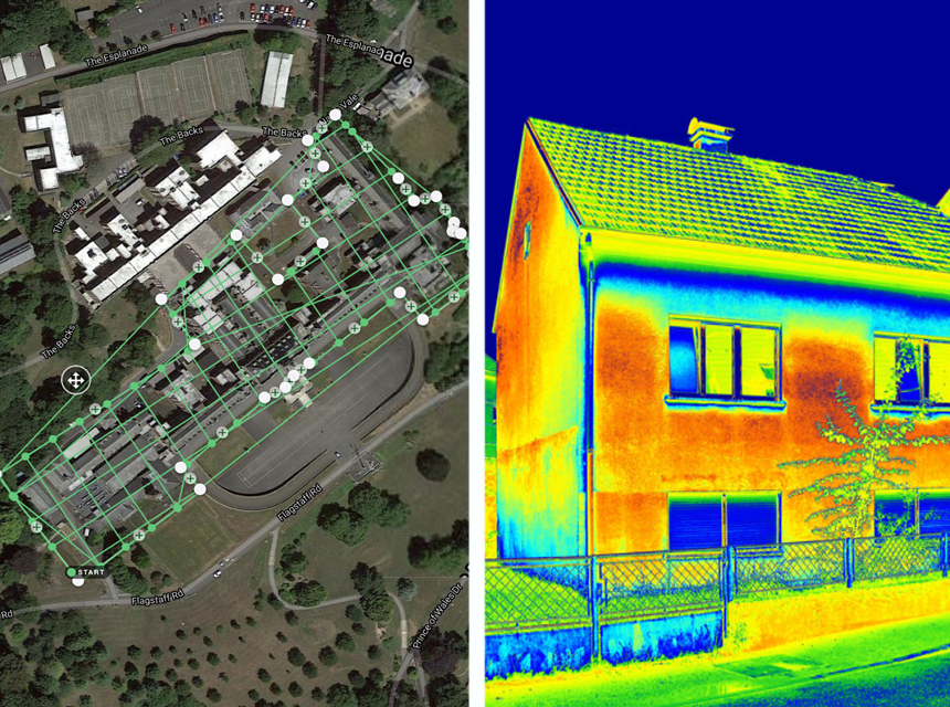
There can also be additional services that can be purchased alongside standard drone photography. Depending on the task you have at hand, you may make use of aerial videos, three-dimensional mapping, and sometimes even thermal images.
These cost money, and they are meant to be added to the overall cost when you’re writing down your numbers.
Prices are calculated using time rates. Usually, the work is charged hourly, half-day, and full-day, and before choosing these, time is taken to itemize all that has been spent, the location, preparation time, and the time it takes to process everything.
All of this should be looked at when calculating your price, and one thing that will help is when you do proper research and compare other market prices to yours. It gives you an idea of what to use, and you can discover one that is comfortable.
But keep in mind that market prices change, so you should be ready and always be able to adjust so you won’t either lose out or overcharge.
Here is the process of real estate drone photography and how it works. It is pretty simple, and we shall discuss it step by step.
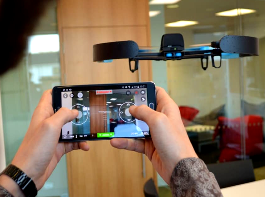
Firstly, the drone pilot and the drone photography service provider meet each other to discuss and determine your needs and how the work will go. You also discuss pricing.
After that, the next step is to give a full review and analysis of the property to understand its layout. When proper analysis and details have been given, the drone is flown around the property to take photographs and videos for documentation.
The drone is meant to capture the property from four different angles. The shots the drone is intended to capture include the top-down shot, the high-oblique/angle shot, the low-oblique/pole shot, and the nightfall shot. Here are quick notes on each.
Top-down shot
This is the kind of picture that’s taken from a vertical position directly above the property or land. The top-down shot is used to take photos of the entire area and show the layout and size.
These pictures can be taken at different heights to portray different angles, and it is meant to give the client a bird’s eye view of the area.
High-oblique
The oblique shot Trusted Source Dutch Angle Shot: Everything You Need to Know - NFI A Dutch angle shot is a camera shot with a tilt on the camera’s roll axis. The point of this tilted perspective is to make viewers feel uneasy. www.nfi.edu is the type of picture that’s taken at an angle from a side of the property, and this is because the side angle shows the property in more detail.
It is mainly used to show the additional features of the property, for example, a swimming pool in a house.
Low-oblique
This is taken from a low angle, most times ground level, and is used to increase the street’s appeal and also the curb appeal. It is used to show the property in more detail and features like the door, window, and porch.
Nightfall shot
This is the type of picture that is taken when it is late, and the sun has already set. It is mainly used to show the property view in a different light.
There are drones explicitly made for this, and if you’re interested, you should look at our list of the best night-vision drones.
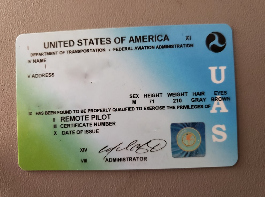
One of the first questions real estate clients ask when they first meet drone photographers is whether they have a valid license.
It is essential to have the proper documents and to participate in real estate deals with a drone, and you must obtain a Federal Aviation Administration Remote Pilot Certificate Trusted Source Become a Drone Pilot | Federal Aviation Administration In order to fly your drone under the FAA’s Small UAS Rule (Part 107), you must obtain a Remote Pilot Certificate from the FAA. This certificate demonstrates that you understand the regulations, operating requirements, and procedures for safely flying drones. Are you a first time pilot or an existing Part 61 Certificate holder? www.faa.gov .
Those who want to obtain this certificate are meant to apply and have a compulsory exam, and if you pass, you shall be given your tracking number and also your certificate.
The best thing about being a drone pilot and photographer is that there are many jobs available for you apart from real estate deals. Clients have different jobs every day, and apart from real estate, you can be tasked with jobs in various fields, including weddings, agriculture, advertising, and automotive work.
The best way to price it is by working on a time rate. Getting a rate that works for you is the first step to securing more jobs and clients. On average, non-real estate drone photography costs $200 per hour and $800 for 24 hours.
There are different ways to increase the value of your work, and your value depends on other factors such as your experience, gear, and professionalism. If you want to increase the value, you can use a portfolio. A portfolio is a file that will contain all your experience in drone real estate photography. Showing this to your prospective clients will enhance your work value.
Aside from setting up a portfolio, here are other ways you can improve the value of your photography work:
It is essential to understand the cost and prices that come with real estate when you’re into drone photography. The prices vary depending on your professional level, the type of job you are asked to do, and finally, the equipment you use.
Drone real estate photography pricing depends on many factors so it is important to set a cost that won’t make the client feel like you’re overcharging and also so you won’t feel underpaid. By following this guide filled with helpful tips, you will indeed always get good drone photography jobs.