So now you have a drone that took all your liquid cash to buy. All that’s left is to map that area you intended. But wait, you don’t have drone mapping software, and worse still, most of the good options you’re looking at seem to cost money. As for drone mapping software that’s free, there may not be many positive reviews. However, we assure you that while they may not have all the capabilities of most paid drone mapping software, they can get the job done just as well. That said, some are just as bad as the price point suggests. So, what free drone mapping software is best? Below are a few options.
The most obvious reason to use Free Drone Mapping Software is a lack of funds. It’s no surprise that given the time, effort, and resources typically put into creating top-tier drone mapping software, most of the available options cost an arm and a leg.
Another reason for this is they’re typically not targeted at hobbyists. Instead, they’re mostly designed for engineering, real estate, and construction professionals. Of course, if you’re not one of these professionals, you’re not likely to have the same financial resources as them.
Also, even if you did, the cost may not be justifiable. For instance, if you’re only plotting a small piece of land with your recreational drone, paying lots of money for software you’ll likely never use again doesn’t make sense. As such, it may be better to use free drone 3D mapping software instead.
Naturally, by picking free software, you also choose what comes with the territory. For instance, you have to accept that the developer cut some corners in making the app, or they may not have been very experienced.
Additionally, they may have had limited human resources. While none of these actually mean the software is terrible and not worth the effort, they do mean that you have to compromise in several areas.
One example is that the software may not have as many features as the one your engineer friends are using. Or it may be slightly less intuitive to use.
Overall it’s still a good idea. However, if you’re only just starting and think you may need decent drone mapping software in the future, you may opt for free trials instead. That way, you can test out some of these more expensive features without paying much upfront.
Alternatively, if you haven’t bought the drone, you can use our list of the best drones under $600 to find a cheaper option, so you remain with funds for the software.
The current best free drone mapping software options include:

Technically, SkyeBrowse is a paid drone mapping software, but there are ways to use it for free. One is the two-week free trial that you get when you first register. Additionally, you can continue using it after two weeks without paying, but its capabilities will be significantly hampered.
The software uses videos instead of terrain photos to create maps, and often this means it’s quicker than alternatives that use photos. In fact, you can typically get your map in less than five minutes.
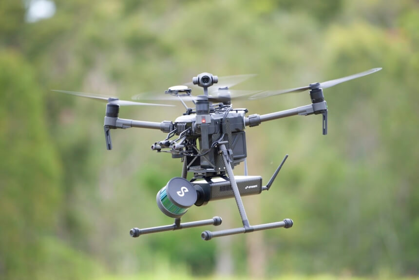
However, you’d need a drone with high-quality video output for the best results. Reviewers recommend the Dji Mini 2 with a 4K camera and 3-axis camera stabilization. Also, its 10km HD video transmission would ensure you get all the areas you want to see mapped.

WebODM is a free, open-source drone mapping software that’s been around for a few years. It’s also fairly popular. The fact that it’s open-source has allowed it to gain an active user community.
However, the downside is that it’s not very intuitive. If you’re not tech-savvy, it may overwhelm you. Also, even if you are, you may need the help of some tutorials to get you through installing and using it.
On the other hand, if you figure it out, it’ll use spatial data from your drone to make all the maps you want. There is a workaround where you can get an installer on the internet. However, this installer costs money and, therefore, would make the software a paid option rather than free.
WebODM also has its limitations, i.e., it doesn’t have flight planning capabilities, and the fact that it runs locally on your PC means it’s resource intensive.
Also, if you’re tech-savvy, you can probably program your drone to make sure it maps the intended area. If you’re interested in how to program a drone, we’ve covered that in a different article.
As for DJI GS Pro, it’s technically not free drone mapping software, but it can be used as one. All you’d need to do is use the app interface to determine your target survey area and turn on the photo or video capabilities.
The app will then create flight paths for the drone. The catch comes in that it doesn’t feature any data processing capabilities. As such, it can’t create the maps itself. However, now that you have the images, you can easily export them to another free software like WebODM for the heavy lifting.
Drone Deploy can be considered a jack of all trades in the drone mapping field and has all the features that even a professional might need. For instance, it’s capable of flight planning, just like the DJI GS Pro. Additionally, it can also do the data processing and 3D mapping aspects.
Another perk is its compatibility with other third-party software.
The catch is that it’s not actually free. Once you register, you have two weeks to test all the features, which should be enough if you don’t plan on making drone mapping a habit. After that, you may start getting charged.
The Pix4Dcapture free mobile app entices users into the Pix4D line of software. It more or less has the same capabilities as the DJI GS Pro allowing you to set flight plans for your area. Also, before you can map the areas, the app allows you to review collected images to determine whether an area needs to be redone for better accuracy.
Perks of the Pix4D app include the ability to store images in the cloud and its compatibility with multiple drone options, e.g., those from Holy Stone. If you’re interested in these drones, our team recently compiled a list of the best Holy Stone drones available today. You can check out how they stack up against other drone manufacturers you’re familiar with.
The Holy Stone HS720E, in particular, has impressed most buyers and comes highly recommended, especially with the 130° being suited for drone mapping imagery.
That said, with the Px4Dcapture app, you may need to use some other drone map processing software, such as WebODM.
There’s also a Pix4D option, the Pix4Dmapper, but this needs you to start paying after the 14-day trial.
Like WebODM, GQIS has garnered a loyal following with many of the same value offerings as its counterpart. It’s open-source but able to compile geospatial data into various maps. However, it’s slightly less complex, meaning people with some tech knowledge can get by.
Most of the other users on the platform are also ready to help with any questions you might have.
Notably, since it doesn’t actually use photos to create its maps, you can’t use it directly with most drones. Instead, you’ll need a third party to process the photos into geospatial data, and then you can use QGIS.
As for Maps Made Easy, it’s capable of producing 2D orthophotos, NDVI Trusted Source Measuring Vegetation (NDVI & EVI) In an effort to monitor major fluctuations in vegetation and understand how they affect the environment scientist use satellite remote sensors to measure and map the density of green vegetation over the Earth. earthobservatory.nasa.gov maps, and many other types of maps from drone images. While it is preferential to DJI images, it’s compatible with a whole host of other drone options. The free version only allows you to process up to 50 images a month. There are also other limitations imposed on the final product.
For full access, you can pay as little as $5.
3DFlow Zephyr is another drone 3D mapping software available for zero cost and has editing, measuring, and reporting capabilities. Like Maps Made Easy, it puts together drone images to create the final map result. That said, since it’s a free version, you do have to make some concessions on what you expect.
For instance, there’s a 50-image limit on what you can process. Also, you’re limited in your use of the resulting files, not to mention results are only produced in textured mesh and JPEG formats.
Another DJI drone mapping app to consider is DJI Flight Hub 2. It’s mainly a flight management software, so you can use it to target the areas you want to map. However, it also has the capabilities for mapping and typically produces 2.5D and 3D map models.
The biggest catch with this option is its limited compatibility. Some compatible devices, according to Dji Trusted Source Support for DJI FlightHub 2 - DJI As the market leader in easy-to-fly drones and aerial photography systems, DJI quadcopters like the Phantom are the standard in consumer drone technology. www.dji.com , are the DJI Mavic 3E, DJI Matrice 300 RTK, DJI Dock, etc.
With the Meshroom From Alice Vision software, you can upload images from your drone and use them to create 3D maps. Also, unlike others on the list, it’s not a free trial option. You get it for free, although technically, it’s not designed for use with drones.
Other impressive drone mapping software options with free trials include Pix4D, which we mentioned above, and Drone Deploy.
With Trusted Source How does it all work? DroneDeploy connects your drone to the internet, allowing for powerful and sophisticated servers in the cloud to plan your flight, run safety checks, and crunch massive amounts of visual data. help.dronedeploy.com , you connect the app to your drone via an internet connection. With that, you can access features like flight plan management, safety checks, and drone mapping features from the visual data collected. The fact that it supports a cloud connection means it’s also not as resource intensive as other options.
With Pix4D, there are multiple other capable apps apart from the Pix4Dmapper. These include Pix4D Fields, Pix4D React, Pix4Dmatic, etc. Most of these are available on a 14-day trial period.
Overall, these drone mapping software available free show that you don’t need to pay or spend a fortune to get your maps. They can usually produce decent results, and apart from options like WebODM, you may not even need to tinker with them as much. However, if you’re using your maps professionally, it may be wiser to pay so you can get more reliable use and results than you would have with the free options.